
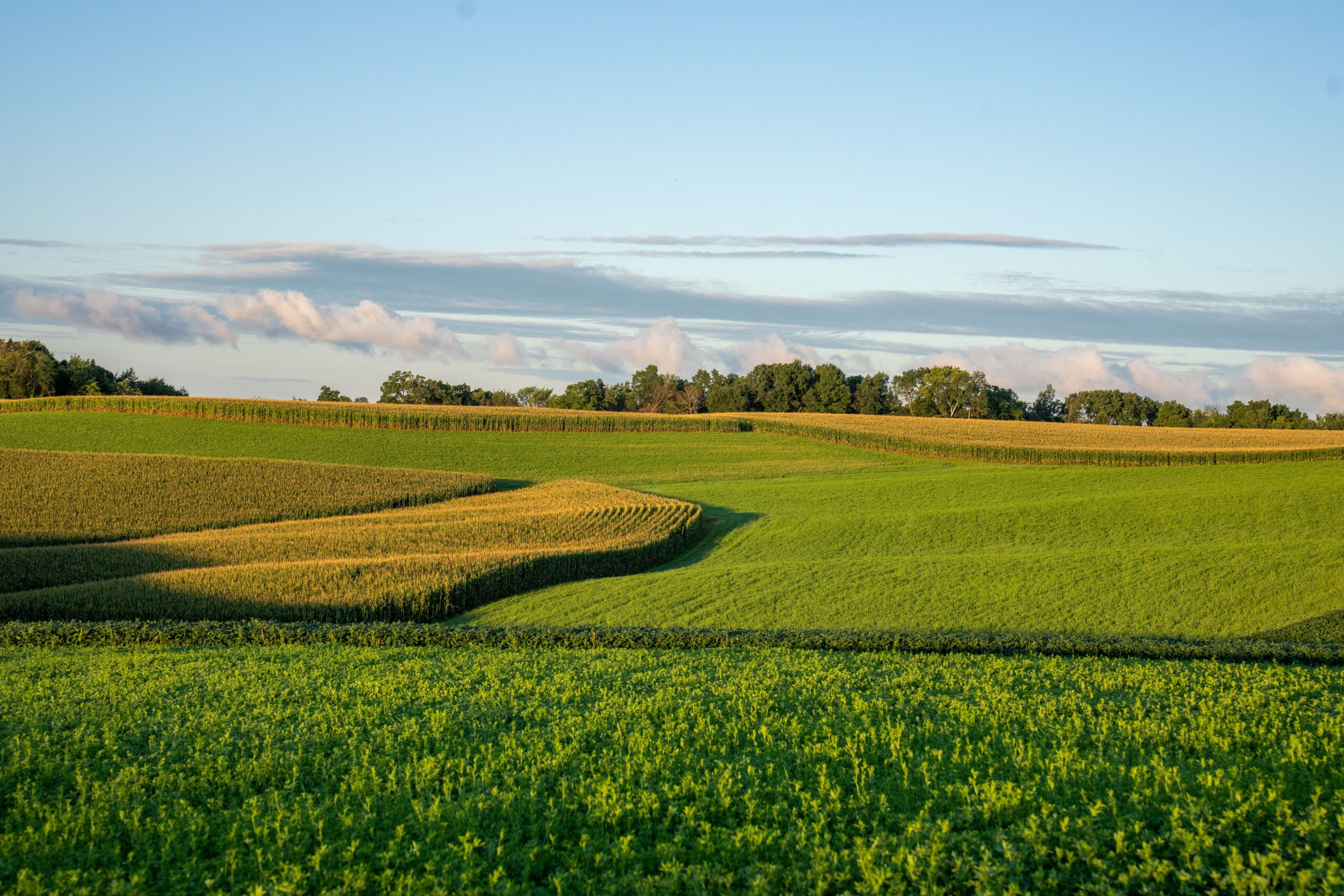
The registration document is signed. The RTC mutation is complete. You are the legal owner of a specific survey number of agricultural land in Kodagu district. The next step — the most practically important step of early ownership — is the boundary walk: the physical inspection of every corner and every edge of the land that is now yours.
Most new farmland owners arrive at their first estate visit focused on the most visible and photogenic aspects — the coffee rows, the blossom if it is the right season, the view from the estate’s high point. The boundary walk is less glamorous but more important. It tells you things about your investment that no document records and no photograph communicates.
Why the Boundary Walk Matters
The registered sale deed and RTC describe your land in legal abstractions — a survey number, an extent in acres and guntas, a taluk and hobli. These abstractions become physical reality only when you walk the specific perimeter of the land they describe. The boundary walk is the moment when you verify that the physical reality corresponds to the legal description — that the land you purchased corresponds to the land you own on paper.
More practically, the boundary walk reveals the specific conditions at your estate’s edges — the quality of the boundary markers, the relationship with adjacent landowners, the water sources that are claimed within the boundary versus those that are actually there, and the access road condition from the main road to the estate gate. All of these are more clearly assessable in person than from any document or photograph.
What to Bring on the Boundary Walk
The survey sketch for your specific survey number — downloaded from the Bhoomi portal or provided by Nature N Me — is the map against which you verify what you are walking. The sketch shows the boundary lines, the approximate shape of the survey number, any roads or water features shown on the record, and the adjacent survey numbers. Keep it accessible during the walk.
A GPS-enabled smartphone with a mapping application that shows your current location is useful for orienting yourself relative to the survey sketch. As you walk each edge, confirming that you are approximately on the boundary the sketch describes gives confidence that the physical boundary corresponds to the registered one.
Good boots — not sandals or casual shoes. The boundary walk crosses uneven terrain, potentially wet understorey, and sections where undergrowth requires pushing through. Appropriate footwear makes the walk comfortable and safe.
Walking Each Boundary: What to Observe
Start at a known reference point — the estate gate or the corner where the access road meets the survey boundary. Move along each boundary edge in sequence, covering the full perimeter.
At each corner: look for the boundary marker — typically a concrete pillar painted with survey information, or an older stone marker. Confirm the marker is present, undisturbed, and in the expected location relative to the survey sketch. Note in your photographs the specific marker at each corner.
Along each edge: observe the relationship between your land and the adjacent property. Is there a clear physical demarcation — a fence, a channel, a ridge — that corresponds to the legal boundary? Or is the boundary vague on the ground, with cultivation from adjacent land appearing to continue into your survey number? Boundary ambiguity that is not addressed at the point of purchase becomes more difficult and more contentious to resolve with every year that passes.
Water features: note every water source encountered during the boundary walk — streams, springs, seasonal channels, ponds. For each: is it within your survey boundary or adjacent to it? Is it currently flowing (in dry season, this reveals perennial versus seasonal status)? Does the survey sketch show it as within your boundary?
Questions to Ask the Farm Manager During the Walk
The farm manager who accompanies you on the boundary walk has typically been managing or observing this estate for longer than you have owned it. Their knowledge of the specific boundary history — any past disputes, any informal understandings with adjacent owners, any sections where the practical boundary differs from the legal one — is valuable and should be elicited during the walk.
Ask specifically: Has there ever been any dispute or discussion with adjacent owners about the boundary along any section? Is there any section where the boundary on the ground differs from the survey sketch? Are there any water sources within the boundary that were not mentioned in the pre-purchase documentation?
Honest answers to these questions — which a well-managed operator’s farm manager will give — tell you more about the practical reality of your ownership than any document in the due diligence file.
Photographing the Walk
Document the boundary walk comprehensively — every corner marker, every section of the boundary edge, the water sources encountered, and the access road condition. GPS-tagged photographs (enabled in most smartphone camera settings) create a geographically referenced visual record that becomes the baseline against which future visits can compare.
These photographs, stored with the date and location metadata intact, are the most valuable practical record of early ownership — providing documentation of the estate’s condition at the point of purchase that is irreplaceable for any future dispute or management assessment.
Disclaimer: The information provided in this guide is for general educational and informational purposes only and does not constitute legal, survey, or professional real estate advice. Survey boundaries, revenue records (RTC/Pahani), and land mutations are subject to official government verifications and local Karnataka land laws. Readers and property owners should conduct official survey procedures (e.g., through licensed surveyors or the revenue department) and consult a qualified legal professional before resolving any boundary or title matters.